Glidepath™
Web · iPad · Mac
Bring them home. Keep them apart. Nothing tracked.
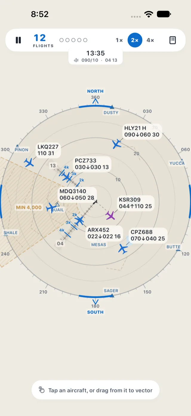
An air traffic control game on a glowing radar scope. Vector arriving aircraft onto the ILS for a safe landing, climb departures out through their exit gates, and keep everyone at least 3 miles or 1,000 feet apart as the traffic builds — at nine airports, six of them built on real-world runway layouts. Play it free in your browser right now; the iPad and Mac apps are in App Store review.
- No subscription, ever
- No ads
- No sign-in
- No tracking
- Plays offline
Web version: live now at glidepath.goofflinebydesign.com. iPad and Mac apps: in App Store review.
Want early access? Email [email protected] to join the beta.
What's inside
-
Web, iPad and Mac
Play free in any modern browser today. Native iPad and Mac apps are in App Store review.
-
Real ATC, made approachable
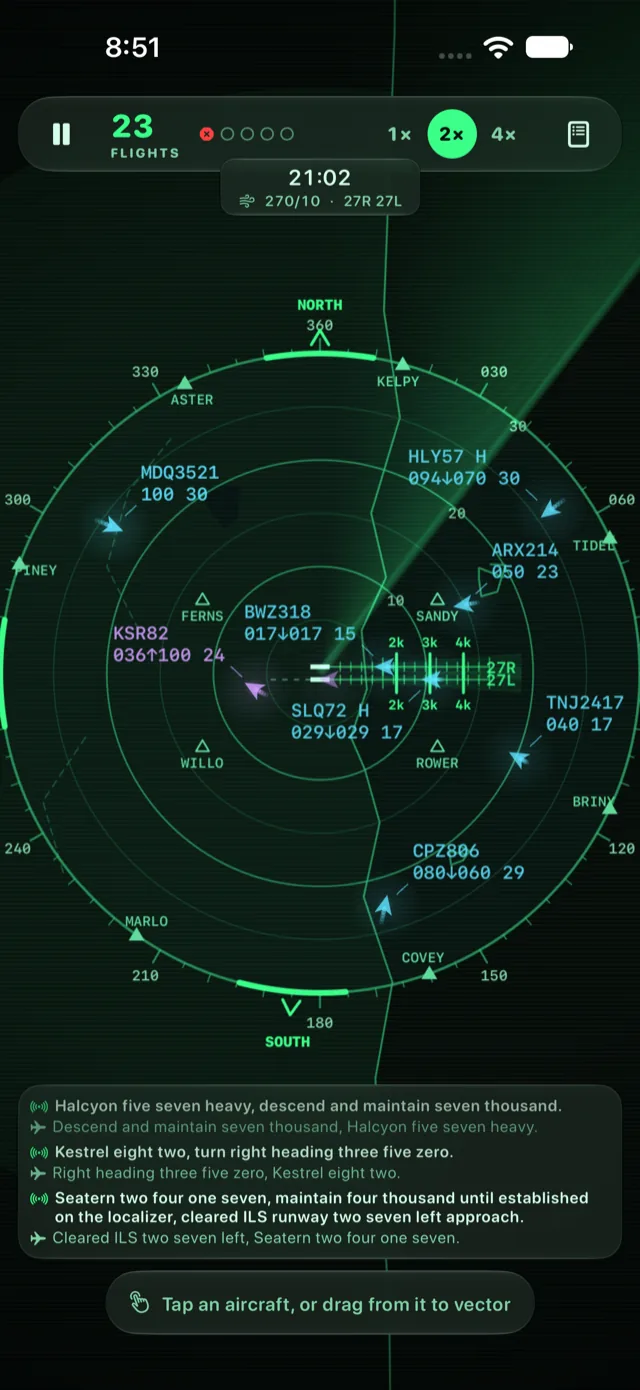
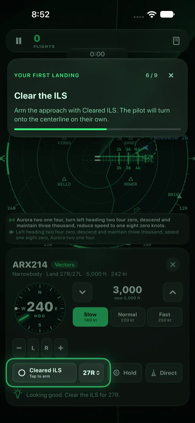
Vector with headings, altitudes and speeds, then clear the ILS — aircraft fly real turn rates, climb rates and a 3° glideslope.
-
Drag to vector
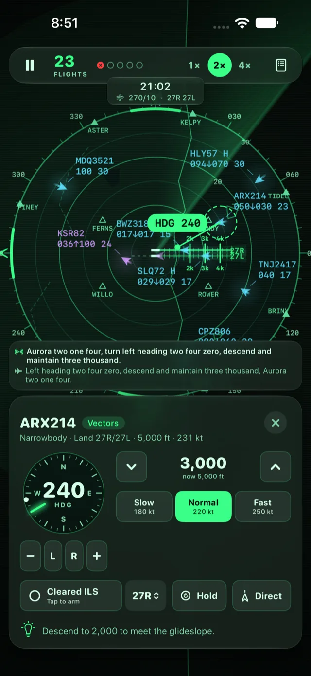
Tap or click an aircraft and drag outward to give it a heading, or use the dial, altitude and speed controls.
-
Standard phraseology
Every clearance in real ATC phrasing, with pilot readbacks in the radio log — and on iPad and Mac, spoken aloud by on-device voices.
-
Nine airports, many configurations
Three Glidepath originals plus six real-world layouts — coastal parallels, triple parallels a mile up, crossing runways between busy neighbors. The wind picks the runways each shift.
-
Real-world layouts
Six airports built from real runway positions, field elevations, approaches, terrain and airspace — with fictional names, and magnetic north up like a real scope.
-
Traffic that isn't yours
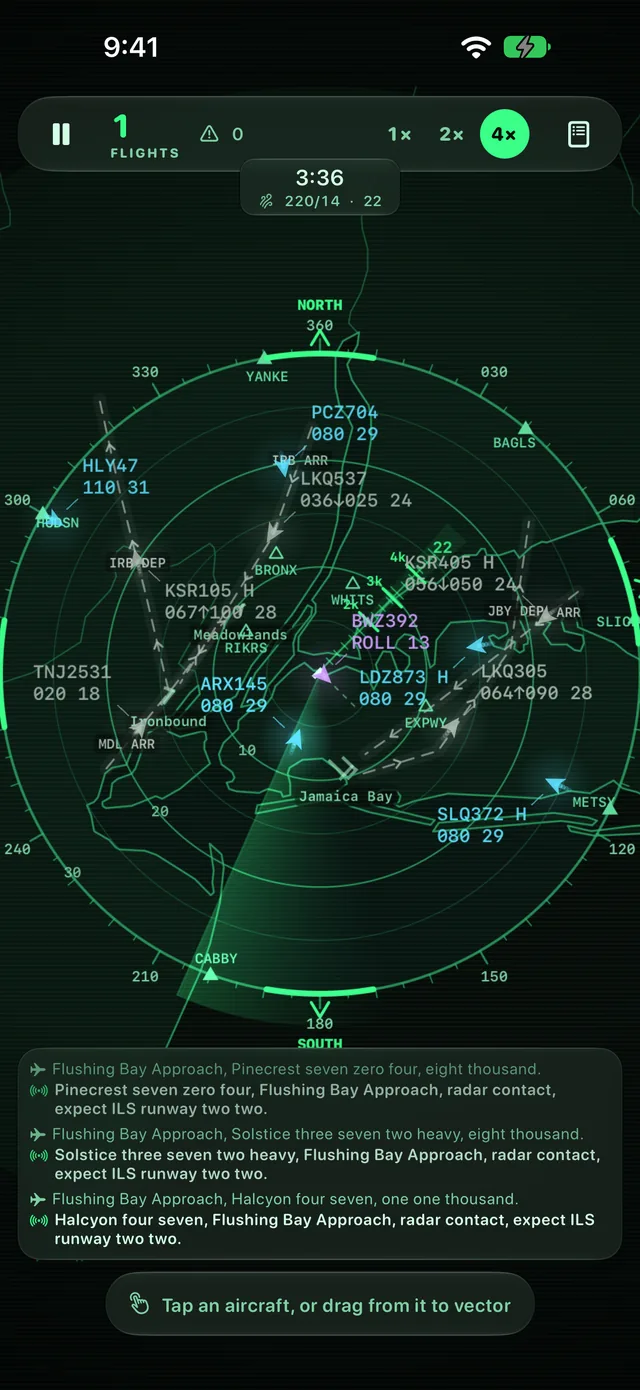
Neighboring airports' arrivals and departures fly marked corridors through your airspace. You can't talk to them, but their flows keep clear of your active finals — so just keep your own aircraft away.
-
Conflict warnings a minute ahead
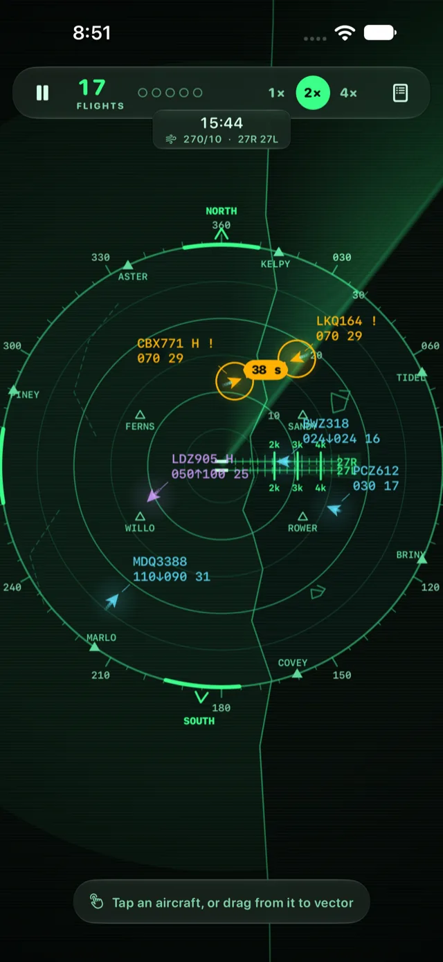
Amber lines count down to a predicted loss of separation, so you can fix it early.
-
Emergencies, if you want them
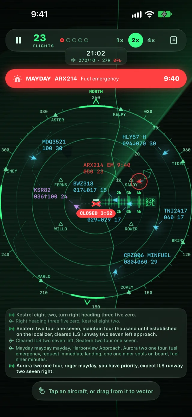
Optional maydays and pan-pans — low fuel, engine failure, smoke, radio failure — that need priority before the clock runs out.
-
Learn in two minutes
A hands-on tutorial takes you from your first landing to handling an emergency.
-
Play your way
Classic or Relaxed mode, Easy to Hard difficulty (Relaxed keeps it to 4, 6 or 8 aircraft), a glowing Phosphor scope or a calm Chart map, and aircraft colored by flight or airline.
New: real-world layouts
Six airports inspired by real ones
Real runway thresholds, field elevations, approach procedures, terrain and restricted airspace — rebuilt on the scope under fictional names. Each one plays differently, and every one is open from the first launch.
-
Beantown
3 configurations · harbor
Runways reaching into the harbor, closely spaced dependent parallels, arrivals sweeping in over the ocean — and RUNNR, a waypoint out west at the marathon start line.
-
Flushing Bay
Crossing runways · 3 neighbors
Two crossing runways boxed in by three busy neighboring airports. Their traffic streams through your airspace in corridors drawn on the scope — and the flows change with your runway configuration. Plus a curving expressway visual approach.
-
Mile High
Field elevation 5,431 ft · triple parallels
Every altitude a mile higher, mountain sectors up to 13,000 ft to the west, and wide triple parallels that let you run independent approaches.
-
Wawel
Single runway · hills
One runway along a river valley, hills to the south with a high minimum altitude, and a restricted range to keep out of.
-
Polderland
Six runways · many parallels
A pinwheel of runways on reclaimed land below sea level. Pick the right combination for the wind and keep the parallel streams apart.
-
Potomac
River visual · prohibited airspace
Prohibited areas right beside the field, departures that must turn away at once, and a river visual approach that follows the water to a short final.
Glidepath is a game, not a training tool: layouts and procedures are simplified for play, and every name is made up.
A closer look
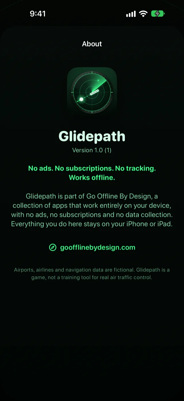
Paid apps, just like the old days
The web version of Glidepath is free to play — the whole game, with no strings attached, and nobody quietly paying for it with your data: no ads, no tracking, nothing to sign up for. The iPad and Mac apps cost a nominal price, just like apps used to, and that's what pays for the work. Either way there's no subscription, no in-app purchases, no premium tier, no account and no analytics of any kind — nothing to rent, nothing to renew, and nothing that stops working because a company changed its pricing. Every airport, mode and feature is there from the first shift; the only things you “unlock” are two of the original airports, by landing planes. And it all runs on your own device. The web version loads once, then makes no network requests at all: pull the plug on your Wi-Fi mid-shift and the traffic keeps flying. The iPad and Mac apps don't contain a single line of networking code and play exactly the same in Airplane Mode — which, fittingly, is a pretty good place to play it.